Akron’s industrial roots run deep, literally. The city grew alongside the Ohio & Erie Canal in the early 1800s, and much of its downtown and surrounding neighborhoods sits atop layered glacial deposits left by the Wisconsin glaciation. This means you’re not just digging through uniform fill; you’re cutting into sequences of stiff clay, silt, sand lenses, and occasionally large cobbles embedded in till. For geotechnical design of deep excavations, that heterogeneity forces us to move beyond textbook assumptions. We routinely corelate field data from SPT borings with laboratory index tests to map where the till transitions from overconsolidated clay to water-bearing granular seams. A mischaracterized layer at 25 feet can change the earth pressure diagram entirely, and in a city where redevelopment projects are pressing into former industrial parcels, we’ve seen that mistake cost contractors months of delay. The Ohio EPA’s Voluntary Action Program has spurred a wave of site cleanups across Summit County, and each new excavation near the Little Cuyahoga River floodplain or the Merriman Valley bluffs demands a design that accounts for both contaminated soil management and slope stability. That intersection of environmental engineering and deep excavation support is where our lab data becomes the critical link between field exploration and shoring design. For projects near the University of Akron or the expanding Akron Children’s Hospital campus, tight excavation limits next to existing structures require us to combine inclinometer monitoring with solid design parameters to keep adjacent footings undisturbed.
In Akron’s glacial till, the difference between a stable cut and a collapse often comes down to a 6-inch sand seam that nobody sampled.
Process overview
Local context
Akron sits on the boundary between the Appalachian Plateau and the Central Lowlands, and the glacial stratigraphy is unpredictable: stiff lodgement till can give way to soft outwash silt within a horizontal distance of 100 feet. The water table across Summit County fluctuates sharply with season, rising close to the surface in spring and after heavy rains, which saturates the upper till and reduces its apparent cohesion. A deep excavation designed for summer conditions can face a completely different loading scenario in November, when groundwater pressures behind the wall increase and reduce the effective stress in the passive zone. The risk of basal heave in soft clay layers at the bottom of the cut is real, especially where the excavation depth exceeds the critical height predicted by the bearing capacity factor Nc. We evaluate this using undrained shear strength from consolidated-undrained triaxial tests, and if the factor of safety against heave drops below 1.5, we recommend extending the wall embedment or installing a jet-grouted bottom plug. In hillside areas like Northwest Akron, the excavation itself can unload the toe of an existing slope and trigger a deep-seated failure surface that extends well behind the wall line; here we run limit equilibrium analyses using Spencer’s method to verify that the shoring system provides adequate global stability under both static and seismic conditions.
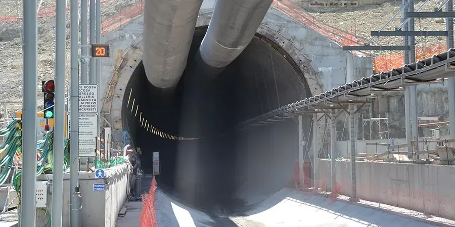
Visual overview
Reference standards
ASCE 7-22: Minimum Design Loads for Buildings and Other Structures, IBC 2021, Chapter 18: Soils and Foundations, ASTM D1586-18: Standard Test Method for SPT and Split-Barrel Sampling of Soils, ASTM D4767-11: Consolidated Undrained Triaxial Compression Test for Cohesive Soils, FHWA Geotechnical Engineering Circular No. 4: Ground Anchors and Anchored Systems
Additional services
Shoring and bracing system design
We develop soldier pile and lagging, sheet pile, or secant pile wall designs tailored to Akron’s glacial till profile, with tieback or internal bracing configurations that account for adjacent building loads and right-of-way restrictions.
Dewatering and groundwater control
Design of temporary dewatering systems including wellpoint arrays and deep wells, supported by in-situ permeability testing and groundwater monitoring plans that comply with Summit County discharge requirements.
Typical parameters
Quick answers
How deep can you excavate in Akron's glacial till before needing tiebacks or bracing?
In the stiff upper till typical of downtown Akron, cantilever soldier pile walls can often handle cuts up to about 12 feet without tiebacks, but this depends entirely on the presence of sand seams and the proximity of surcharge loads. We always verify the cantilever height with site-specific undrained shear strength data and a limit equilibrium check.
What is the typical cost range for a geotechnical design of a deep excavation in Akron?
For a complete design package covering site investigation review, laboratory testing coordination, shoring calculations, and construction drawings, the budget generally falls between US$2,140 and US$7,240 depending on excavation depth, complexity of adjacent structures, and whether dewatering design is included.
Do you need to account for seismic loads in Akron excavation design?
Yes. While Akron is in a low-to-moderate seismicity region, the IBC and ASCE 7 still require a seismic earth pressure check for permanent walls and for temporary cuts that remain open longer than six months. We typically use the Mononobe-Okabe method with a horizontal acceleration derived from the site-specific mapped spectral response.