The first thing that comes off the truck on an Akron monitoring job is the digital inclinometer probe—a torpedo-shaped instrument lowered into a grooved casing to track lateral movement behind a shoring wall. For subsidence points we set optical prisms on neighboring foundations and read them with a total station that resolves half a millimeter at 100 feet. Piezometers go in next, usually vibrating-wire units pushed into the glacial till that underlies much of Summit County. This equipment runs 24/7 once excavation passes ten feet below grade, because the layered silts and stiff clays left by the Wisconsinan glaciation can creep for days before they telegraph trouble to the street above. Contractors working near the Ohio & Erie Canal corridor or along the Cuyahoga River bluffs call us when the geotechnical baseline report flags a tight deformation limit. We also pair monitoring with an in-situ permeability test when dewatering is active, because drawdown outside the excavation is often the first trigger for settlement claims.
Rate of movement matters more than total displacement—most Akron failures we have reviewed showed acceleration 48 hours before the first visible crack.
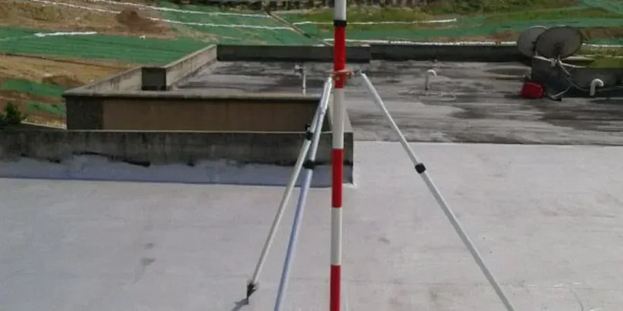
Process overview
Local context
Akron sits on the Glaciated Allegheny Plateau, and the soil profile changes abruptly from stiff gray till to soft lacustrine clay within a single block. When an excavation crosses that transition, differential movement is almost guaranteed. The bigger risk is dewatering. Contractors who pump without recharging the aquifer outside the shoring line can drop the water table six feet in a weekend, and that is enough to consolidate loose silts under an adjacent street and crack a 12-inch water main. We have tracked settlements of over two inches on projects where nobody installed piezometers until the damage was done. Another hazard is freeze-thaw cycling in the upper five feet during late-fall excavations; saturated clay heaves, the shoring brace loads spike, and the inclinometer trace develops a kink at the frost line. Real-time monitoring turns these events from surprises into manageable data points that let the crew adjust the dig sequence before the next pour.
Reference standards
ASTM D7299 (inclinometer installation), ASTM D6230 (settlement monitoring), IBC 2024 Section 3304 (excavation safety), OSHA 1926 Subpart P (trenching and excavation), FHWA GEC No. 4 (ground anchors and tiedback walls)
Additional services
Inclinometer and ShapeArray Monitoring
Continuous lateral-displacement profiles behind soldier pile and secant walls using traversing probes or fixed-in-place SAA strings. Data delivered as cumulative deflection versus depth with vector direction.
Settlement and Heave Point Networks
Optical survey arrays on adjacent pavements, foundations, and utilities. Readings taken with digital levels tied to deep benchmarks outside the zone of influence.
Piezometer and Dewatering Control
Vibrating-wire standpipe and driven piezometers to track groundwater drawdown during pumping. Threshold alarms tied to permit conditions and neighboring building tolerances.
Vibration and Crack Monitoring
Triaxial geophones for blasting and compaction vibration, plus digital crack gauges on sensitive historic masonry. PPV histograms correlated with construction activity logs.
Typical parameters
Quick answers
What is the typical cost of excavation monitoring in Akron for a mid-rise basement dig?
For a typical 40-by-80-foot excavation with three inclinometer casings, twelve settlement points, and two piezometers, the instrumentation supply, installation, and three months of daily reporting usually runs between US$950 and US$2,430, depending on access constraints and whether telemetry or manual readings are required.
Which Akron soil conditions most often trigger monitoring alerts?
The interface between stiff Wisconsinan till and softer glaciolacustrine clay is the number one trigger. When the excavation bottom straddles that contact, differential heave and lateral squeeze can accelerate quickly, especially if dewatering lowers pore pressure in the clay layer.
How quickly can the team respond if an inclinometer exceeds the alert threshold?
The system sends an SMS and email within five minutes of the reading. Our Akron-based engineer reviews the displacement plot immediately and calls the site superintendent with a recommendation—usually to halt excavation in that sector and check bracing preload—within the hour.