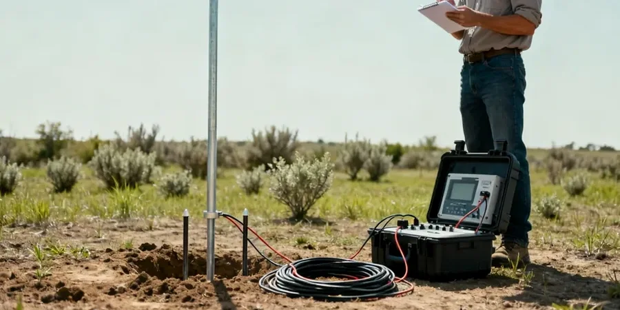
A recent project near the Little Cuyahoga River involved a planned commercial building where initial borings showed erratic refusal depths. The developer needed to know if it was pinnacled bedrock or just scattered glacial erratics before committing to a foundation type. In our experience across Akron, this is a classic scenario where drilling alone gives you point data, but you need a continuous profile to connect the dots. That is where an electrical resistivity survey becomes invaluable. By running a multi-electrode array across the site, we mapped the true bedrock surface in under a day, revealing a buried paleochannel that could have caused serious differential settlement. It is a practical complement to the SPT drilling we often perform, and it helps target the exact locations where a CPT test would add the most value for stratigraphic confirmation.
Electrical resistivity does not just find the water table; it reveals the architecture of the glacial deposits that define Akron’s geotechnical behavior.
Our approach and scope
Local geotechnical context
The IBC 2021, adopted by Ohio, requires a thorough subsurface investigation for all structures classified under Risk Category II and above. In Akron, the risk of misinterpreting the ground is heightened by the presence of buried valleys and soft lacustrine clays that can be masked by a thin layer of stiff till. A foundation designed solely on the assumption of uniform clay could experience excessive settlement if it overlies an undetected sand channel. Furthermore, environmental liability is a real concern on former industrial parcels; an electrical resistivity survey acts as a first-pass screening tool to identify potential leachate plumes or buried metallic debris before invasive work begins. Ignoring these lateral variations is not just a code issue, it is a budget risk that can trigger costly change orders during excavation and foundation construction.
Regulatory framework
ASTM D6431-18: Standard Guide for Using the Direct Current Resistivity Method for Subsurface Site Characterization, IBC 2021 (Ohio Building Code): Section 1803 Geotechnical Investigations, ASCE 7-22: Minimum Design Loads and Associated Criteria for Buildings and Other Structures
Related services
2D Electrical Resistivity Tomography (ERT)
We lay out multiple electrode spreads to produce continuous cross-sections of subsurface resistivity. This method is ideal for mapping lateral changes in stratigraphy, detecting karst features in the underlying Sharon sandstone, or delineating the edges of old landfill boundaries.
Vertical Electrical Sounding (VES) for Bedrock Depth
Using a Schlumberger or Wenner array, we expand electrode spacing to incrementally probe deeper. The resulting sounding curve is inverted to determine layer thicknesses and resistivities. This is a cost-effective way to confirm bedrock depth across a large site before committing to a full drilling program.
Typical parameters
Questions and answers
How much does an electrical resistivity survey cost in Akron?
For a typical site in the Akron area, the cost generally ranges from US$570 to US$1.080, depending on the line length, electrode spacing, and target depth. A simple VES sounding with a few expansion points will be at the lower end, while a full 2D ERT profile with multiple lines and complex terrain adjustments falls at the higher end.
What soil conditions in Akron make resistivity a good choice?
The strong contrast between the low-resistivity glacial clays and silts and the high-resistivity sand and gravel outwash makes Akron an excellent candidate for resistivity methods. The technique also responds well to the massive sandstone and shale bedrock, providing a clear geophysical marker for the top of rock.
Can electrical resistivity detect groundwater depth?
Yes, groundwater is typically a conductive medium, so the saturated zone often appears as a distinct low-resistivity layer. In Akron’s alluvial valleys, the water table is usually well-defined in the resistivity data, though interpretation must account for clay layers which can also be conductive.
How does weather affect a resistivity survey?
Resistivity surveys require good electrode contact with the ground. In Akron, frozen ground during winter months can make coupling very difficult, so we typically schedule these surveys between March and November. Wet soil actually improves contact, so a light rain is not a problem, but heavy downpours that create surface runoff can distort the data.